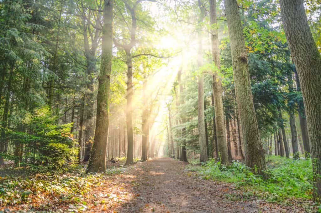
Parks & Green Spaces In Greensboro, NC
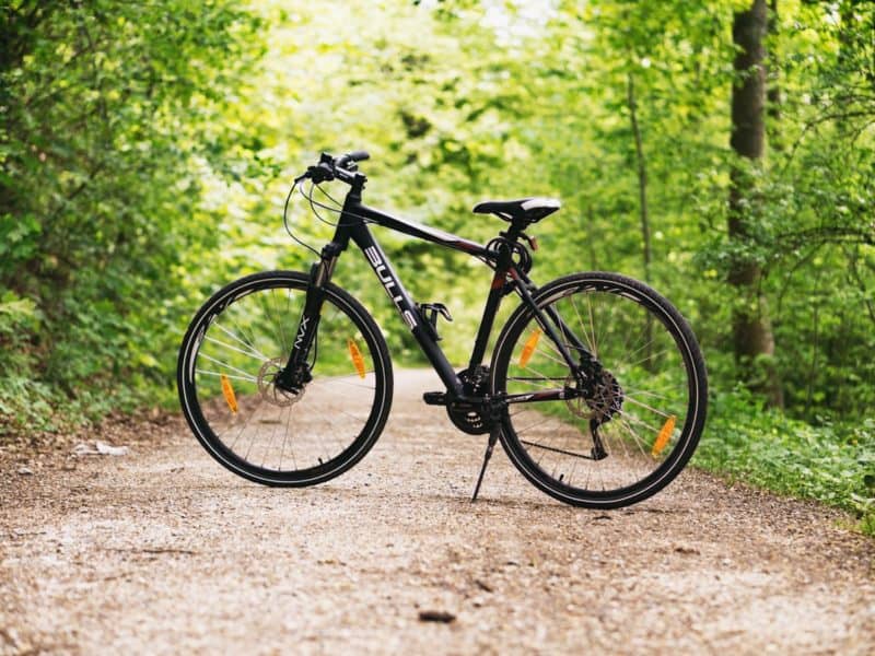
Greensboro has one of the best collections of greenways in North Carolina. Greenways have the ability to connect people to destinations and usually run alongside rivers or stream beds. Greenways enhance the overall quality of life in a community by promoting healthy activities, clean air (fewer vehicles), and more benefits. The Greensboro Parks and Recreation Trails Division is working diligently to build new greenways that will connect to existing greenways and trails.
Best Greenways in Greensboro
Atlantic & Yadkin Greenway (7.5 Miles)
Formerly known as Lake Brandt Greenway, Battleground Rail Trail, and Bicentennial Greenway, this greenway was constructed on the abandoned Atlantic-Yadkin railroad line. For nature lovers, you can spot common and migratory birds, including bald eagles, herons, ospreys, and ducks as you travel down the greenway. Many wildflowers, plants, and trees grow for woodland creatures to play in. You can take a break at the H. Michael Weaver Bridge to enjoy the scenic beauty of Lake Brandt. Here are some of the greenway’s features:
- Asphalt surface
- Wheelchair Accessible
- Perfect for:
- Biking
- Walking
- Inline Skating
- Access to Bur-Mil Park
- Access to Country Park
- Flat and easy terrain
- Parking is available at:
- Bur-Mil Park
- Guilford Courthouse National Military Park
- Greensboro Country Park
Learn More About Atlantic & Yadkin Greenway
Bicentennial Greenway (14.5 Miles)
The Bicentennial Greenway is a combination of off-road asphalt and sidewalks that runs through residential neighborhoods, pine and hardwood forests, parks and more. It connects to both shopping areas and schools. It’s open to non-motorized usage, and birding is an exciting activity on the greenway, especially around the Piedmont Environmental Center at the greenway’s southern end. The trail links up with the Atlantic & Yadkin Greenway at its northern end. Here are some of the greenway’s features:
- Asphalt & Gravel surfaces
- Wheelchair Accessible
- Perfect For:
- Biking
- Walking
- Inline Skating
- Parking is available at:
- Kernodle Middle School (3600 Drawbridge Pkwy, Greensboro)
- Leonard Recreation Center (6324 Ballinger Rd)
- Western Guilford High School (409 Friendway Rd)
Learn More About The Bicentennial Greenway
Downtown Greenway (4 Miles)
The Downtown Greenway is a paved greenway that makes its way through Greensboro, North Carolina. The trail is almost 4 miles long, beginning on Spring Garden Street. The trail heads south, passing under railroad tracks, before turning east to Martin Luther King Drive. The trail is suitable for walking, biking, jogging, dog-walking, and rollerblading and connects residential and commercial areas. This greenway features:
- Asphalt surfaces
- Wheelchair Accessible
- Perfect For:
- Biking
- Walking
- Inline Skating
- Dog-walking
- Parking is available at:
- On-street parking at Smith and Prescott streets for the Tradition Cornerstone
- On-street parking at Lindsay and Cumberland streets for the Innovation Cornerstone
- Accessible trailhead parking area at 475 Spring Garden Street at Morehead Park
- Trailhead parking area at Eugene and Bragg Street at Five Points
Learn More About The Downtown Greensboro Greenway
Lake Daniel Greenway (2 Miles)
This paved trail travels the length of Lake Daniel Park. The greenway has a mix of grassy open spaces and woods, as well as recreational activities like fitness stations, a playground, tennis courts, and a basketball court. This makes this greenway a perfect spot for active parents, kids, and families. One thing to be mindful of is the several street crossings to approach with caution. This greenway connects to the Latham Park Greenway by way of the Hill Street Connector trail. The greenway features:
- Asphalt surface
- Wheelchair Accessible
- Fitness Stations
- Access To Sports Courts
- Access To A Playground
- Perfect For:
- Biking
- Walking
- Inline Skating
- Parking is available at:
- 410 Mimosa Dr, Greensboro, NC
Learn More About Lake Daniel Greenway
Latham Park Greenway (1.2 Miles)
Latham Park Greenway is perfectly nestled among the neighborhoods of Latham Park, Iriving Park and Fisher Park in Greensboro. A concrete trail runs the length of Latham Park, making it a perfect greenway for families living in the surrounding area. This greenway is one of the few in the county that also features fitness stations for a unique workout routine in nature. Latham Park is also home to other sports facilities including baseball fields, tennis courts, and a skate park. You can also access a lake and a playground! The greenway has the following features:
- Concrete surfaces
- Skate Park
- Fitness Stations
- Sports Fields
- Perfect For:
- Biking
- Walking
- Inline Skating
- Parking is available at:
- Kernodle Middle School (3600 Drawbridge Pkwy, Greensboro)
- Leonard Recreation Center (6324 Ballinger Rd)
- Western Guilford High School (409 Friendway Rd)
Best Hiking/Biking Trails in Greensboro
Bald Eagle Trail (4.1 Miles) & Loop (1.2 Miles)
Bald Eagle Trail runs along Lake Higgins, providing beautiful trails for hiking and mountain biking. There are plenty of areas and opportunities for bird-watching and wildlife spotters. The bike trail is considered a semi-technical mountain bike ride by the Greensboro Fat Tire Society, with root-filled sections and hairpin turns. It also features a 1.3-mile loop on the western side of Lewiston Road. Note that cyclists are asked to yield trail right-of-way to hikers. Cyclists are asked to avoid riding after rainfall when the trails are muddy as well. The trails have the following features:
- Wildlife/Bird Watching
- Natural Surfaces
- Bald Eagles Nearby!
- Perfect For:
- Biking
- Walking
- Parking is available at:
- Off Hamburg Mill Road just west of the entrance to Lake Higgins Marina
- Long Valley Road
Blue Heron Trail (3.25 Miles)
The Blue Heron trail runs alongside the shoreline of Lake Townsend. There is plenty of variety as the trail zigs and zags out of the woods for multiple power line crossings. A few sections have deep gullies and dips that are fun to take off or on your bike. Blue Heron makes for a quick ride or walk and is relatively easy to take. Note that cyclists are asked to yield trail right-of-way to hikers. Cyclists are asked to avoid riding after rainfall when the trails are muddy as well. The trails have the following features:
- Wildlife/Bird Watching
- Natural Surfaces
- Perfect For:
- Biking
- Walking
- Parking is available at:
- The intersection of Church Street and Lake Townsend
Keeley Park Pump Track
The Keeley Park Pump Track features two tracks of continuous dirt loops of rollers and berms. The pump track is made up of two continuous dirt loops of small hills, which cyclists will be able to circle without pedaling. There’s one loop for advanced riders and another for beginners. This track is low-risk due to the flat nature of the course. Your speed is limited by your skill level, making it safe and enjoyable for all ages. The trails have the following features:
- Advanced riders track
- Beginners track
- Skills area
- Picnic tables
- Restrooms
- Sprayground
- Bike Fix-it Station with bike tools and air
- Red Clay Dirt
- Perfect For:
- Biking
- Hours:
- Open 8 am daily until Keeley Park closes
- Parking is available at:
- 4100 Keeley Park Rd., McLeansville
Laurel Bluff Trail (3.5 Miles)
The Laurel Bluff Trail cuts through beautiful woods and streams along the Reedy Fork Creek. This trail is one of six Watershed Trails that have been designated as part of the North Carolina Mountains-to-Sea Trail. Hike through laurel groves on the Laurel Bluff Trail while taking in the shores of LakeTownsend. The trails have the following features:
- Wildlife/Bird Watching
- Lake Townsend views
- Natural Surfaces
- Perfect For:
- Hiking
- Walking
- Parking is available at:
- The east side of Lake Brandt Road, approximately one-quarter mile north of the Lake Brandt Marina
- A small gravel parking lot across Church Street
Nat Greene Trail (3.6 Miles)
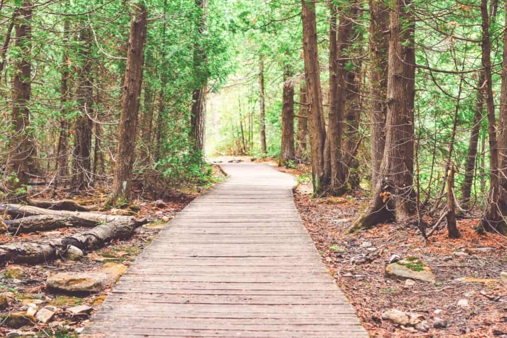
The Nat Greene Trail is one of the oldest and most popular of the watershed trails. Wildflowers and cedar run along the trail as it winds around the shores of Lake Brandt. Explore the trail from Lake Brandt Marina and learn about the plant and tree diversity on the interpretive signs sprinkled along the trail. A 200-foot boardwalk also allows hikers to cross mudflats and bogs where Horse Pen Creek feeds into Lake Brandt. This trail is linear and will double the distance on a trip out and back. The trails have the following features:
- Wildlife/Bird Watching
- Lake Brandt Marina
- Natural Surfaces
- Perfect For:
- Hiking
- Walking
- Parking is available at:
- The Nat Greene Trail is accessible at the Lake Brandt Marina
- Trail parking is available at the marina next to the large trailhead sign
Owl’s Roost Trail (4.3 Miles) & Owl’s Roost Fire Lanes (1.3 Miles)
Owl’s Roost makes the perfect destination for a workout or outdoor excursion, no matter if you are into biking or hiking. Owl’s Roost was voted the ‘best urban mountain biking trail’ in the country by Bicycling Magazine. The twists and turns along with the undulation make the Owl’s Roost Trail a regional favorite for single-track riding. This trail is rugged compared to some of the other watershed trails and is the most technical ride in the system. 1.3 miles of old fire lanes have been converted to trails to add an extra benefit to the trail. It is sponsored by the Greensboro Fat Tire Society. The trails have the following features:
- Bur-Mil Park
- Technical Mountain Biking
- Great for single-track riding
- Natural Surfaces
- Perfect For:
- Hiking
- Biking
- Parking is available at:
- The north trailhead is accessible through Bur-Mil Park
- The southern trailhead is accessible by way of the A&Y Greenway, south of Owl’s Roost Road
Learn More About Owl’s Roost Trail
Piedmont Trail (2.75 Miles)
The Piedmont Trail heads through a kudzu field before darting through the wooded area on the north shores of Lake Brandt. The trail takes hikers by wild blackberries, strawberries, cherry trees, cedar forests, and wildflowers. You can even spot deer, turtles, and turkeys on the side of your path. The Piedmont Hiking and Outing Club sponsors the trail and offers organized hikes. The trails have the following features:
- Wildlife/Bird Watching
- Lake Brandt & Marina
- Natural Surfaces
- Perfect For:
- Hiking
- Walking
- Parking is available at:
- This Piedmont Trail can be found from the trailhead parking lot on Strawberry Road
Reedy Fork Trail (3.5 Miles)
The Reedy Fork Trail runs alongside the Reedy Fork Creek that flows into Lake Townsend. You will find plenty of wildlife, including deer, raccoon, and beaver on the trail, making it a great choice for a moderate hike or a scenic bike ride. This trail is described as a semi-technical mountain bike ride by the trail’s sponsor, the Greensboro Fat Tire Society. Reedy Fork offers bumpy sections, with plenty of “ups and downs” that mountain bikers crave. Cyclists are asked to yield trail right-of-way to pedestrians. Cyclists are asked to avoid riding after rainfall when the trails are muddy. The trails have the following features:
- Lake Townsend views
- Semi-Technical Mountain Biking
- Wildlife/Bird viewing
- Natural Surfaces
- Perfect For:
- Hiking
- Biking
- Parking is available at:
- The Reedy Fork Trail starts on the eastern side of Lake Brandt Road
- 1/3 mile north of the Lake Brandt Marina
- The Reedy Fork Trail starts on the eastern side of Lake Brandt Road